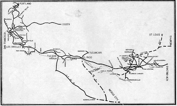
SOUTHERN PACIFIC LINES
DIVISION MAPS
|
Office of Vice-President
|
To look at a division map use the maps list. Notes: (1) the maps are large images, approximately 1 MB, and may take 3-5 minutes to load in your browser with a 56K dial-up modem; (2) set your browser to show the actual sizes, which are about 2300 x 1700 pixels. |